Michigan: stops on the Lake Superior Circle Tour
37 stops in Michigan, in clockwise route order from Sault Ste. Marie to Ironwood.
Michigan — eastern U.P. (Sault Ste. Marie to Munising)
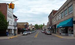
Sault Ste. Marie
City on the St. Marys River that its visitors bureau calls the oldest city in Michigan, where the International Bridge crosses to Canada and marks the start of Interstate 75.
Soo Locks
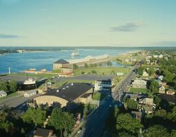
Locks on the St. Marys River that let freighters pass between Lake Superior and the lower Great Lakes, watched from an observation platform in Soo Locks Park beside a visitor center.
Point Iroquois Lighthouse
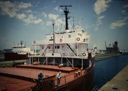
Hiawatha National Forest lighthouse on Lake Shore Drive west of Brimley whose brick tower and residence date from 1870, with a 65-foot tower and a maritime museum.
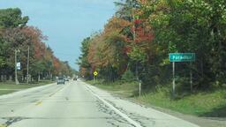
Paradise
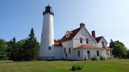
Whitefish Township community reached by M-123, with Lake Superior to its north and east and Tahquamenon Falls State Park to its west.
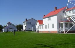
Whitefish Point Light Station and Great Lakes Shipwreck Museum
Light station established in 1849 with a tower built in 1861, 11 miles north of Paradise on Whitefish Point Road, whose campus houses the Great Lakes Shipwreck Museum and the bell of the Edmund Fitzgerald.
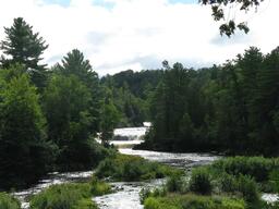
Tahquamenon Falls State Park - Lower Falls
Series of five smaller falls flowing around an island on the Tahquamenon River, about 4 miles downstream of the Upper Falls, viewed from the riverbank and the Ronald A. Olson Island Bridge.
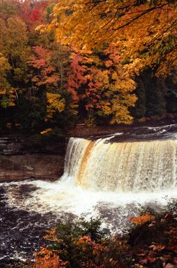
Tahquamenon Falls State Park - Upper Falls
Waterfall 200 feet wide with a drop of almost 50 feet on the Tahquamenon River, in a state park of nearly 50,000 acres whose address is on M-123 at Paradise.
Grand Marais
Village on the south shore of Lake Superior at the eastern gateway to Pictured Rocks National Lakeshore.
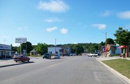
Pictured Rocks National Lakeshore
National lakeshore established in 1966 that runs 42 miles along Lake Superior and includes some 15 miles of cliffs, with visitor centers near Grand Marais and in Munising.
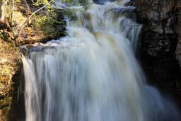
Sable Falls
Waterfall about 1 mile west of Grand Marais on H-58 that tumbles 75 feet over sandstone, best viewed from the bottom of a 168-step staircase.
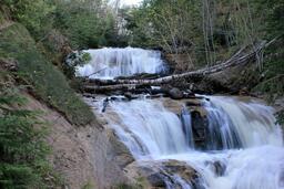
Grand Sable Dunes
Five square miles of dunes perched atop the 300-foot-high Grand Sable Banks, reached by a 0.6-mile round-trip trail from the Sable Falls parking area.
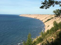
Log Slide Overlook
Viewpoint over Lake Superior and the Grand Sable Dunes, about 7 miles west of Grand Marais on H-58 and then 1.0 mile north on Log Slide Road, where a level path leads to the site of the former overlook platform.
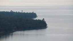
Au Sable Light Station
Light station built in 1873-1874 with an 86-foot tower, the only lighthouse in the park, reached by a 1.5-mile one-way walk from Hurricane River Campground, 12 miles west of Grand Marais on H-58.
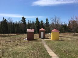
Twelvemile Beach
12-mile-long sand beach in the middle of the park, reached from the Lake Superior Overlook on H-58 or the day-use area of Twelvemile Beach Campground about 16 miles west of Grand Marais.
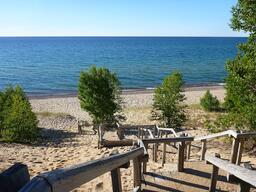
Chapel Falls
60-foot waterfall that cascades toward Chapel Lake, reached by a 1.2-mile walk on the Chapel trail from the trailhead at the end of Chapel Road, about 15 miles east of Munising on H-58 and then 5 miles north.
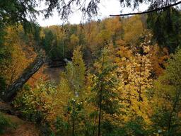
Chapel Rock
Remnant of Cambrian-age sandstone carved by Lake Nipissing high water some 3,800 years ago, reached by a 3-mile hike to Lake Superior from the trailhead at the end of Chapel Road, about 15 miles east of Munising on H-58 and then 5 miles north.
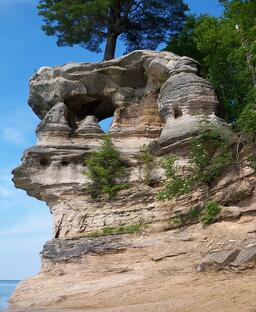
Miners Castle
Rock formation at the end of Miners Castle Road that NPS calls the only place in the park where visitors can drive to overlooks on the cliff, with a loop of about 1/2 mile to three overlooks.
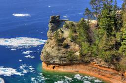
Munising Falls
50-foot waterfall over a sandstone cliff inside Munising city limits, where Washington Street becomes Sand Point Road, normally reached by a paved 800-foot trail.
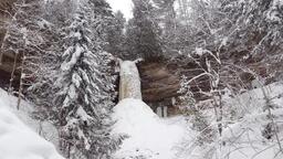
Munising
Alger County seat and its largest city, on Munising Bay on the Lake Superior shore, with a 2020 census population of 1,963 and the main western visitor center for Pictured Rocks National Lakeshore.
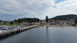
Au Train
Community in the Hiawatha National Forest west of Munising, reached by M-28, with a roadside Lake Superior beach where the Au Train River runs in.
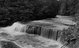


Michigan — central and western U.P. (Marquette to Porcupine Mountains)
Marquette
Marquette is a community in Michigan's Upper Peninsula on the shore of Lake Superior.
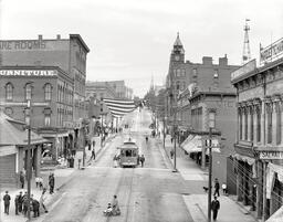
Presque Isle Park
Presque Isle Park is a 323-acre forested peninsula that juts into Lake Superior at the northern tip of the City of Marquette, at the end of Lakeshore Boulevard.
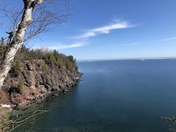
Sugarloaf Mountain
Sugarloaf Mountain is climbed by a trail with multiple staircases to summit observation decks that look over the city of Marquette, the Lake Superior shoreline and the Huron Mountains.

Canyon Falls
Canyon Falls is reached by a short walk through the forest from Canyon Falls Roadside Park on US-41 south of L'Anse in Baraga County.
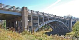
Baraga
The Village of Baraga is in the northwestern Upper Peninsula on L'Anse Bay, the lower part of Keweenaw Bay on Lake Superior.
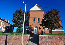
Houghton
Houghton sits on the southern shore of the Keweenaw Waterway, is home to Michigan Tech University, and is the gateway to the Keweenaw Peninsula and Isle Royale National Park.
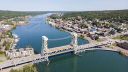
Hancock
Hancock is a city on the north shore of Portage Lake that was founded in the 1850s and is the northernmost city in Michigan.
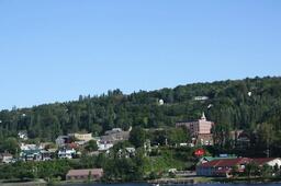
Keweenaw National Historical Park
Keweenaw National Historical Park was established to preserve and interpret the history of copper mining on the Keweenaw Peninsula, with a Quincy Unit just north of Hancock and a Calumet Unit about 12 miles further north on US-41 in Calumet.
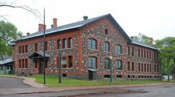
Eagle Harbor Lighthouse
The Eagle Harbor Light Station at 670 Lighthouse Road is owned by the Keweenaw County Historical Society, which maintains four museums there, while the Coast Guard still operates the tower light as an active navigational aid.
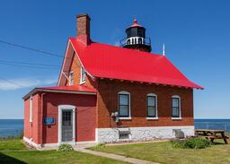
Brockway Mountain Drive
Brockway Mountain Drive is a two-way, roughly nine-mile scenic drive off M-26 between Eagle Harbor Township and Copper Harbor that climbs to 1,320 feet above sea level, 720 feet above Lake Superior, and has several viewing platforms.
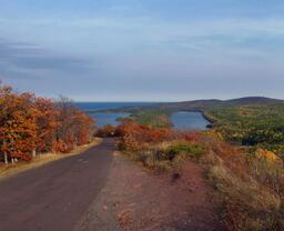
Copper Harbor
Copper Harbor is a small town at the end of US-41 at the tip of Michigan's Keweenaw Peninsula.
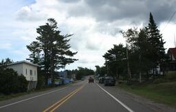
Isle Royale National Park (ferry detour)
FERRY DETOUR, not on the highway loop: Isle Royale National Park is an island park accessible only by ferry, seaplane or private watercraft, with passenger ferries from Houghton and Copper Harbor, Michigan, and Grand Portage, Minnesota, and a mainland visitor center at 800 E. Lakeshore Drive in Houghton.
Ontonagon
Ontonagon is a village at the mouth of the Ontonagon River on Lake Superior and the county seat of Ontonagon County, with sandy public beaches.
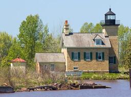
Ontonagon Lighthouse
The Ontonagon Lighthouse, which housed keepers from its opening in 1866 until it was deactivated in 1963, has been restored to circa 1915 by the Ontonagon County Historical Society, whose museum is at 422 River Street.
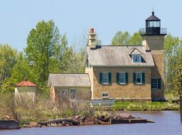
Porcupine Mountains Wilderness State Park
Porcupine Mountains Wilderness State Park is Michigan's largest state park, with about 60,000 acres of old-growth forest, waterfalls, Lake Superior shoreline, rivers, trails and ridges.
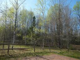
Lake of the Clouds overlook
Lake of the Clouds is a mountain lake in Porcupine Mountains Wilderness State Park that is viewed from a fully accessible overlook reached by driving west from Silver City on the 107th Engineers Memorial Highway.
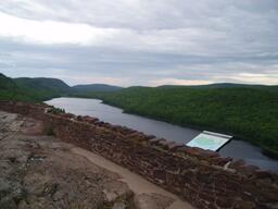
Ironwood
Ironwood is a city in Gogebic County, founded as a mining town and incorporated in 1889, on US Highway 2 across the Montreal River from Hurley, Wisconsin, where the Lake Superior Circle Tour meets the Wisconsin state line.