Waterfall · Stop 53 of 111
Munising Falls
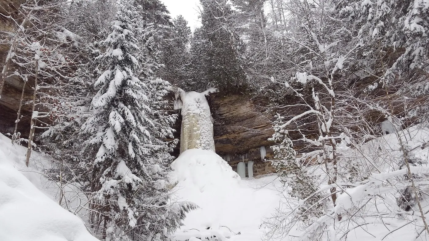
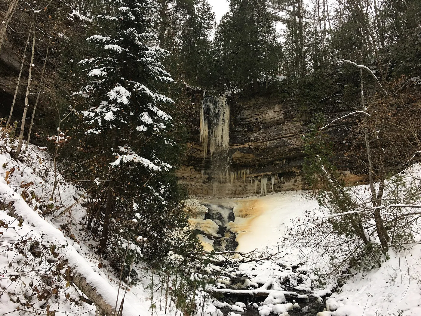
50-foot waterfall over a sandstone cliff inside Munising city limits, where Washington Street becomes Sand Point Road, normally reached by a paved 800-foot trail.

Plan your visit
Season and hours, as stated by the source
NPS states the road and parking lot are plowed all winter; NPS alert (page last updated August 19, 2026): the Munising Falls Trail is closed until further notice after an April 28th, 2025 washout.
Dates and hours change. Confirm on the official page before you go.
At a glance
- Category
- Waterfall
- Nearest town
- Munising, Michigan
- Part of the loop
- Michigan — eastern U.P. (Sault Ste. Marie to Munising)
- Coordinates
- 46.422687, -86.621239
Open this point in OpenStreetMap
The point is as published by the source listed below and may mark the general place, not an entrance or parking area. Check the official page for directions. - Official page
- nps.gov/places/munising-falls.htm
- 52 Miners Castle (previous stop)
- 53 Munising Falls (this stop)
- 54 Munising (next stop)
Schematic drawn from stop coordinates, with straight lines between stops rather than roads. Not for navigation.
Sources
The facts on this page come from these pages.

Do you manage Munising Falls? Claim this listing. It is free.
Something wrong here? Report a problem with this listing.