Wisconsin: stops on the Lake Superior Circle Tour
17 stops in Wisconsin, in clockwise route order from Hurley to Pattison State Park.
Wisconsin (Ashland / Bayfield to Superior)
Hurley
Hurley is a city in and the county seat of Iron County, Wisconsin, on U.S. Highway 2 directly across the Montreal River from Ironwood, Michigan, with origins in the iron mining and lumbering booms of the 1880s.
Ashland
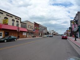
Ashland sits on Chequamegon Bay on the south shore of Lake Superior and has 21 murals, for which it has been known since 2005 as the 'Historic Mural Capital of Wisconsin'.
Northern Great Lakes Visitor Center
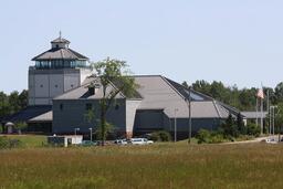
The David R. Obey Northern Great Lakes Visitor Center is on County Highway G just off US Highway 2, two miles west of Ashland, and is run by a federal, state and local partnership with free parking and admission.
Washburn
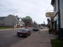
Washburn is a city on the Bayfield Peninsula along Highway 13 that calls itself the 'Little Town on the Big Lake' and has two lakeside parks with campgrounds.
Houghton Falls State Natural Area
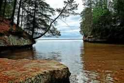
Houghton Falls is a 76-acre, town-owned state natural area that protects a sandstone gorge on the Lake Superior shore, reached from a trailhead on Houghton Falls Road 2.4 miles north of Washburn off Highway 13.
Bayfield
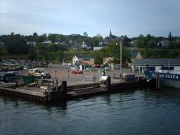
Bayfield is a small city on Lake Superior known as the 'Gateway to the Apostle Islands', where the national lakeshore has its headquarters visitor center and the car ferry leaves for Madeline Island.
Apostle Islands National Lakeshore
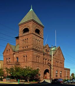
Apostle Islands National Lakeshore is made up of 21 islands and a 12-mile mainland unit at the tip of the Bayfield Peninsula, with its headquarters and visitor center in the Old County Courthouse in Bayfield and islands that can be reached only by water.
Madeline Island (La Pointe)
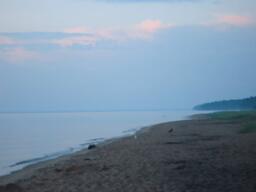
The Town of La Pointe is on Madeline Island, the only inhabited island of the Apostle Islands, a 20-minute ferry ride from Bayfield and not part of the national lakeshore.
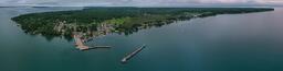
Big Bay State Park
Big Bay State Park is on the eastern side of Madeline Island and has sandstone bluffs along 4 miles of Lake Superior shoreline, a 1-mile boardwalk, a sandy swimming beach, hiking trails and campgrounds.
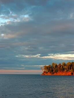
Little Sand Bay
Little Sand Bay is a mainland area of Apostle Islands National Lakeshore, 13 miles from Bayfield off Old County K, with a seasonal visitor center, docks and a kayak launch used by paddlers heading to Sand and York Islands.
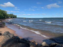
Meyers Beach and Mainland Sea Caves
Meyers Beach, on Meyers Beach Road off Highway 13 about 5 miles east of Cornucopia, is the Apostle Islands National Lakeshore mainland site with a beach, a kayak launch and the Lakeshore Trail trailhead, from which a 2.5-mile hike leads to views of the sea caves from above.
Cornucopia
Cornucopia is a Bayfield County community on Highway 13 on the south shore of Lake Superior, described as the western gateway to Apostle Islands National Lakeshore, with a harbor that shelters commercial fishing vessels and pleasure craft.
Port Wing
Port Wing is a small Bayfield County community on the Lake Superior shore with public beaches, a harbor and the Flagg River trout and salmon stream.
Amnicon Falls State Park
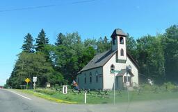
Amnicon Falls State Park, about 7 miles east of the Superior city limits in Douglas County, has a series of waterfalls and rapids on the Amnicon River that can be viewed from a covered foot bridge or 2 miles of riverside trails.
Wisconsin Point Lighthouse (Superior Entry Lighthouse)
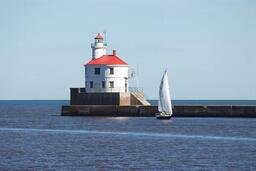
The Superior Entry Lighthouse on Wisconsin Point in Superior was built in 1913 and is not open for tours, but visitors can reach it on concrete walkways.
Superior
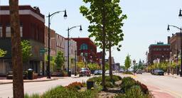
Superior is the Douglas County city where the Lake Superior Circle Tour crosses between Wisconsin and Duluth, Minnesota.
Pattison State Park
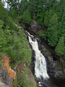
Pattison State Park is a 1,400-acre park with the highest waterfalls in Wisconsin, the 165-foot Big Manitou Falls and the 31-foot Twin Little Manitou Falls, plus a lake with a beach, a nature center, camping and hiking trails.