Town · Stop 84 of 111
Cornucopia
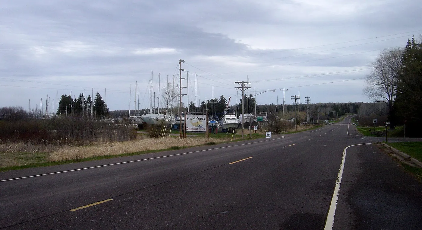
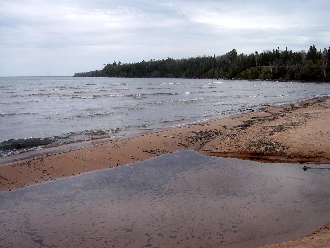
Cornucopia is a Bayfield County community on Highway 13 on the south shore of Lake Superior, described as the western gateway to Apostle Islands National Lakeshore, with a harbor that shelters commercial fishing vessels and pleasure craft.

Plan your visit
The sources we used for this stop do not state a season or opening hours. Check the official page for Cornucopia.
Dates and hours change. Confirm on the official page before you go.
At a glance
- Category
- Town
- Nearest town
- Cornucopia, Wisconsin
- Part of the loop
- Wisconsin (Ashland / Bayfield to Superior)
- Coordinates
- 46.853830, -91.101860
Open this point in OpenStreetMap
The point is as published by the source listed below and may mark the general place, not an entrance or parking area. Check the official page for directions. - Official page
- lakesuperiorbyway.org/town-of-bell.html
- 84 Cornucopia (this stop)
- 85 Port Wing (next stop)
Schematic drawn from stop coordinates, with straight lines between stops rather than roads. Not for navigation. Stop 83, Meyers Beach and Mainland Sea Caves, has no coordinates in our data and is not drawn.
Sources
The facts on this page come from these pages.

Do you manage Cornucopia? Claim this listing. It is free.
Something wrong here? Report a problem with this listing.