Park · Stop 44 of 111
Pictured Rocks National Lakeshore
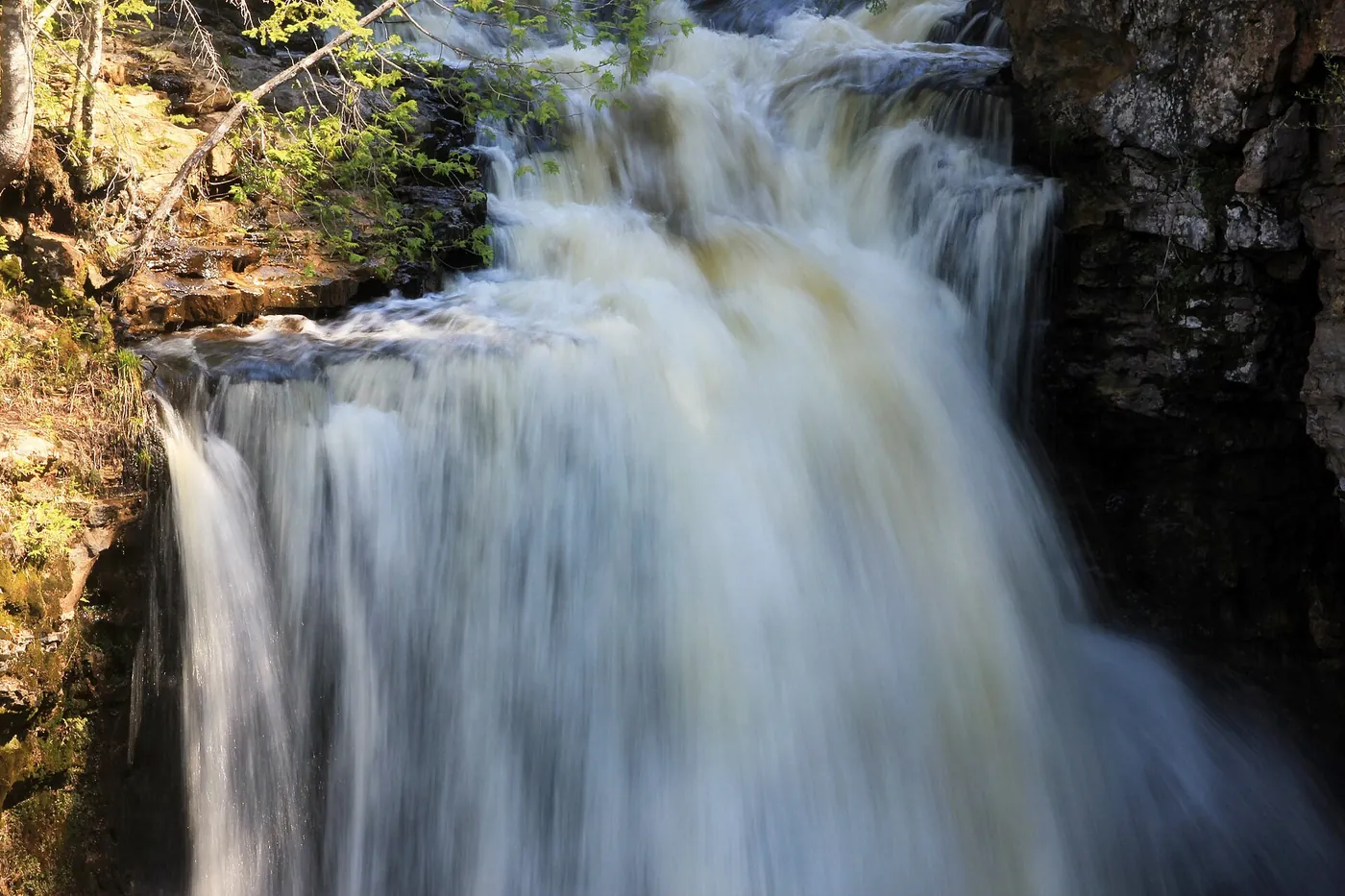
National lakeshore established in 1966 that runs 42 miles along Lake Superior and includes some 15 miles of cliffs, with visitor centers near Grand Marais and in Munising.

Plan your visit
Season and hours, as stated by the source
Open year-round, 24 hours a day; the park plows only Sand Point Road, and from December 1st to March 31st unplowed park roads are closed to all vehicles except snowmobiles.
Dates and hours change. Confirm on the official page before you go.
At a glance
- Category
- Park
- Nearest town
- Grand Marais, Michigan
- Part of the loop
- Michigan — eastern U.P. (Sault Ste. Marie to Munising)
- Coordinates
- 46.657652, -86.020988
Open this point in OpenStreetMap
The point is as published by the source listed below and may mark the general place, not an entrance or parking area. Check the official page for directions. - Official page
- nps.gov/piro/index.htm
- 43 Grand Marais (previous stop)
- 44 Pictured Rocks National Lakeshore (this stop)
- 45 Sable Falls (next stop)
Schematic drawn from stop coordinates, with straight lines between stops rather than roads. Not for navigation.
Sources
The facts on this page come from these pages.
- nps.gov/piro/index.htmOfficial page
- nps.gov/piro/planyourvisit/conditions.htmCoordinate source
- nps.gov/piro/planyourvisit/basicinfo.htm
- nps.gov/piro/planyourvisit/hours.htm
- nps.gov/piro/planyourvisit/winter-road-closures.htm
- nps.gov/piro/planyourvisit/visitorcenters.htm
- nps.gov/piro/planyourvisit/fees.htm

Do you manage Pictured Rocks National Lakeshore? Claim this listing. It is free.
Something wrong here? Report a problem with this listing.