Scenic overlook · Stop 101 of 111
Palisade Head
Palisade Head is a Lake Superior cliff that is part of Tettegouche State Park, reached from Highway 61 about 1.5 miles southwest of the park visitor center by a road to the top.
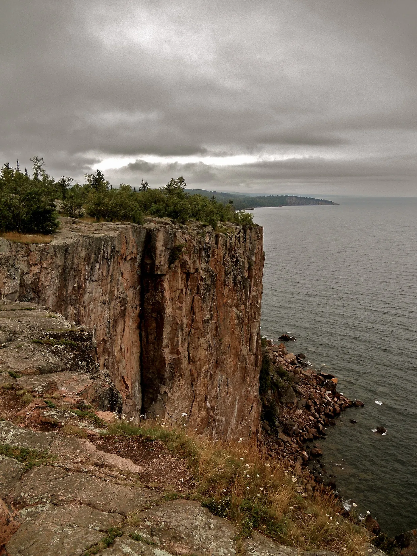

Plan your visit
Season and hours, as stated by the source
DNR: 'Drive to the top of Palisade Head (short hike in winter)'; no closure dates are stated.
Dates and hours change. Confirm on the official page before you go.
At a glance
- Category
- Scenic overlook
- Nearest town
- Silver Bay, Minnesota
- Part of the loop
- Minnesota North Shore (Duluth to Grand Portage)
- Coordinates
- 47.319348, -91.215867
Open this point in OpenStreetMap
The point is as published by the source listed below and may mark the general place, not an entrance or parking area. Check the official page for directions. - Official page
- dnr.state.mn.us/state_parks/tettegouche/index.html
- 100 Beaver Bay (previous stop)
- 101 Palisade Head (this stop)
- 102 Tettegouche State Park (next stop)
Schematic drawn from stop coordinates, with straight lines between stops rather than roads. Not for navigation.
Sources
The facts on this page come from these pages.
- dnr.state.mn.us/state_parks/tettegouche/index.htmlOfficial page
- carto.nationalmap.gov/arcgis/rest/services/geonames/MapServer/5/queryCoordinate source
- maps.dnr.state.mn.us/cgi-bin/compass/feature_detail.cgi
- dnr.state.mn.us/state-parks/virtual-tours/tettegouche/dialup.html
- exploreminnesota.com/destinations/north-shore/things-to-do

Do you manage Palisade Head? Claim this listing. It is free.
Something wrong here? Report a problem with this listing.