Scenic overlook · Stop 7 of 111
Ouimet Canyon Provincial Park
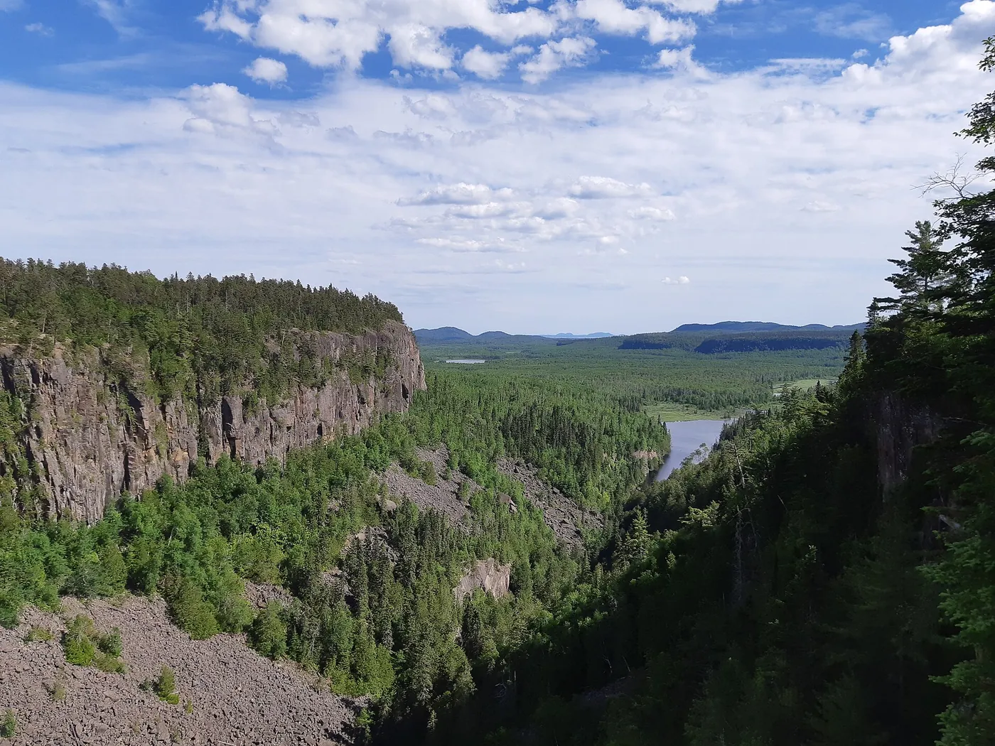
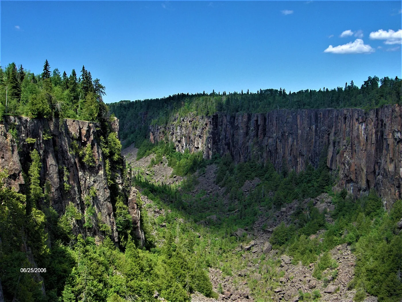
Ouimet Canyon is a day-use park where a trail and boardwalk connect two lookout platforms over a 150-metre-wide gorge with cliffs that drop 100 metres to the canyon floor.

Plan your visit
Season and hours, as stated by the source
2026 operating dates: day use May 15 to October 30, 2026; day-use only (no camping).
Dates and hours change. Confirm on the official page before you go.
At a glance
- Category
- Scenic overlook
- Nearest town
- Dorion, Ontario
- Part of the loop
- Ontario — Superior Country (Thunder Bay to Pukaskwa / Marathon)
- Coordinates
- 48.766486, -88.670826
Open this point in OpenStreetMap
The point is as published by the source listed below and may mark the general place, not an entrance or parking area. Check the official page for directions. - Official page
- ontarioparks.ca/park/ouimetcanyon
- 6 Silver Islet (previous stop)
- 7 Ouimet Canyon Provincial Park (this stop)
- 8 Red Rock (next stop)
Schematic drawn from stop coordinates, with straight lines between stops rather than roads. Not for navigation.
Sources
The facts on this page come from these pages.
- ontarioparks.ca/park/ouimetcanyonOfficial pageCoordinate source
- geogratis.gc.ca/services/geoname/en/geonames.json

Do you manage Ouimet Canyon Provincial Park? Claim this listing. It is free.
Something wrong here? Report a problem with this listing.