Waterfall · Stop 32 of 111
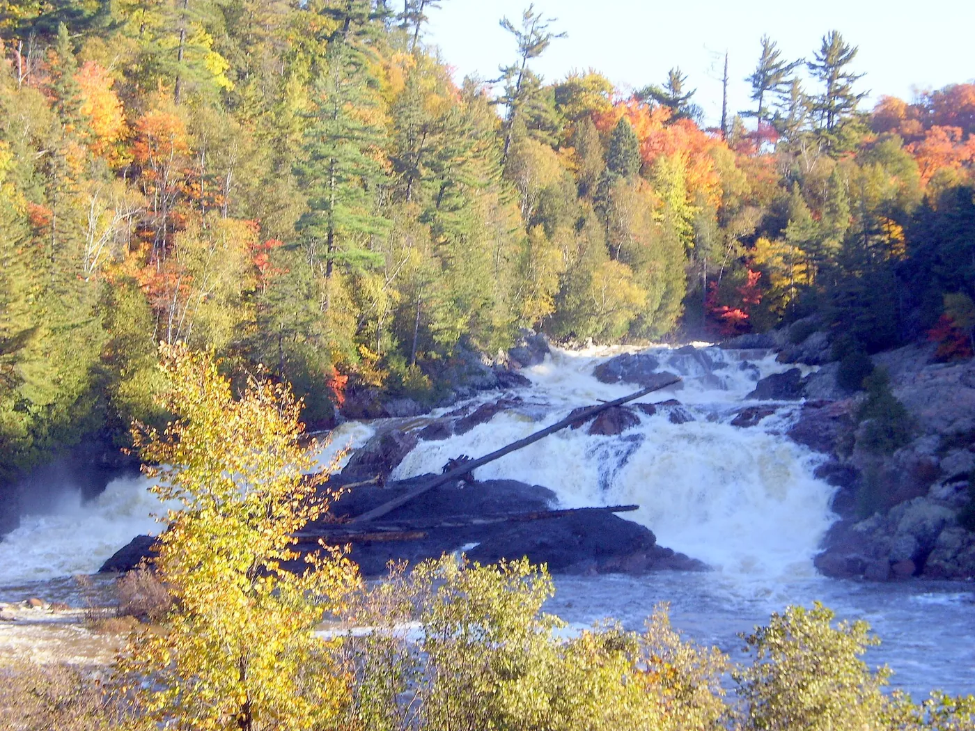
Chippewa Falls
Roadside waterfall on Highway 17 where an Ontario Motor League plaque marks a midpoint of the Trans-Canada Highway.

Plan your visit
The sources we used for this stop do not state a season or opening hours. Check the official page for Chippewa Falls.
Dates and hours change. Confirm on the official page before you go.
At a glance
- Category
- Waterfall
- Nearest town
- Batchawana Bay, Ontario
- Part of the loop
- Ontario — Algoma (White River to Sault Ste. Marie)
- Coordinates
- 46.9294444, -84.4261111
Open this point in OpenStreetMap
The point is as published by the source listed below and may mark the general place, not an entrance or parking area. Check the official page for directions.
- 31 Batchawana Bay Provincial Park (previous stop)
- 32 Chippewa Falls (this stop)
- 33 Sault Ste. Marie (next stop)
Schematic drawn from stop coordinates, with straight lines between stops rather than roads. Not for navigation.
Sources
The facts on this page come from these pages.
Do you manage Chippewa Falls? Claim this listing. It is free.
Something wrong here? Report a problem with this listing.